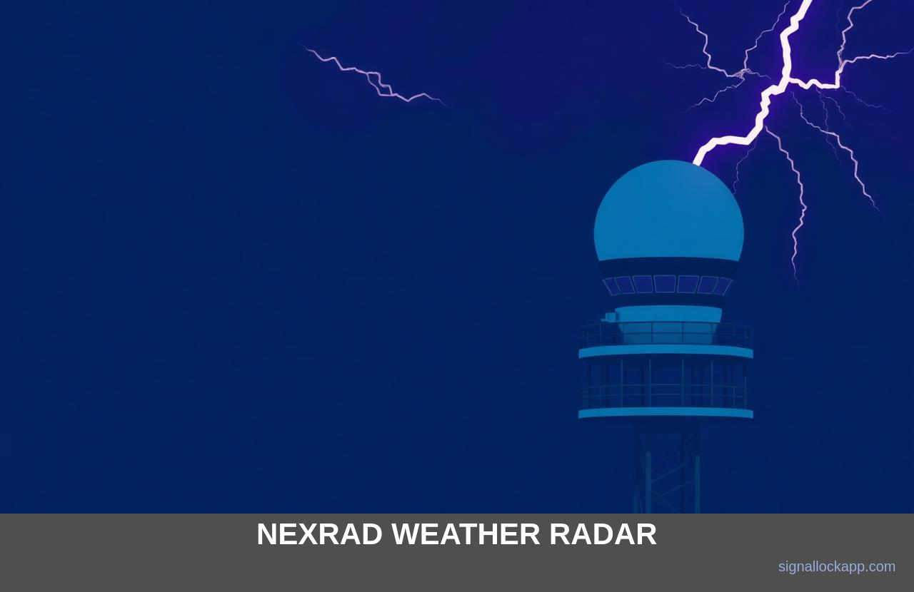
What a WSR-88D is
A 28-foot S-band dish (2.7–3.0 GHz) on a 30-metre tower, inside a fibreglass dome the size of a small house. 750 kW peak, 1 µs pulses. The S-band wavelength survives heavy rain without total attenuation — exactly what you need to see through a thunderstorm core.
Volume coverage patterns
The dish doesn't just spin — it climbs through elevation angles (0.5°, 1.5°, 2.4°...) building a 3D scan called a volume coverage pattern. A severe-weather VCP completes 14 elevations in 4 minutes; a clear-air pattern takes 10 minutes with greater sensitivity.
Dual-polarisation upgrade (2012)
Adding a vertical channel let NEXRAD tell rain from hail from debris. The 'tornado debris signature' on dual-pol — a sudden drop in correlation coefficient — is now the most reliable real-time confirmation of a tornado on the ground.
Why hobby radar fans love it
Every NEXRAD scan is public-domain Level II data, streamed by NOAA in real time. RadarScope, GRLevel, College of DuPage and dozens of open-source viewers all consume it. Your weather app gets its 'live radar' tile from the same feed.
The Pulse-Doppler Phase Shift
Beyond simple reflectivity, the WSR-88D utilizes the Doppler shift to calculate radial velocity—the speed of particles moving toward or away from the radar. By analyzing the phase change between successive return pulses, the system can identify mesocyclones, the rotating updrafts that precede tornado formation. This capability was the primary advancement over the old WSR-57 and WSR-74 systems, which only measured intensity. Digital processing allows for the isolation of the 'gate-to-gate' shear, where wind directions flip over a small area, providing meteorologists with a signature of rotation long before a funnel cloud is visually confirmed by spotters.
The signal processing depth is substantial; each pulse sample volume is roughly 250 meters deep. As the beam widens with distance, the resolution decays, a phenomenon known as beam broadening. To combat this, NEXRAD utilizes 'super-resolution' data processing, which samples at 0.5-degree azimuthal intervals rather than the standard 1.0-degree. This increases the grid density, allowing for the detection of smaller-scale features like narrow debris balls or fine-line boundaries from cold fronts. It is this high-fidelity data that feeds the Warning Decision Support System (WDSS), translating raw electromagnetic returns into the life-saving polygons seen on consumer weather applications.
Data Distribution via Level II and III
NEXRAD data flows through a tiered architecture managed by the National Climatic Data Center. Level II data represents the highest resolution base products—reflectivity, velocity, and spectrum width—recorded directly at the Signal Processor. This raw stream is transmitted in real-time to the NWS and university partners via the Unidata Local Data Manager (LDM). In contrast, Level III data consists of processed products, such as storm-total precipitation or hail index, which are lower resolution and easier to distribute over low-bandwidth connections. This hierarchy ensures that both high-end research institutions and local television stations can access the necessary telemetry according to their processing capabilities.
The move toward open-access data in the early 2000s catalyzed a revolution in private-sector meteorology. Previously, high-resolution radar feeds were the exclusive domain of federal agencies and multi-million dollar broadcast suites. By making Level II data available to the public and commercial developers, the NOAA enabled the creation of high-speed mobile apps and sophisticated GIS-based analysis tools. This transparency has turned a government defensive system into a global standard for atmospheric research, allowing independent researchers to analyze decades of storm history to better understand the impacts of climate change on convective storm frequency and intensity.
The Dilemma of the Radar Horizon
NEXRAD's greatest limitation is not its power, but the curvature of the Earth. As the beam travels away from the tower, it gains altitude relative to the ground. A 0.5-degree tilt—the lowest standard scan—is already 3 kilometres above the surface once it reaches 100 kilometres from the radar site. This creates 'blind zones' where low-level rotation or light snow may occur entirely beneath the beam's path. While the network's 160 stations provide overlapping coverage, rural areas far from a WSR-88D site often suffer from a lack of low-altitude data, a phenomenon meteorologists call the 'radar gap' that can delay flash flood or tornado warnings.
To mitigate this, the National Weather Service utilizes beam refraction modeling, yet the physical constraints remain. At maximum range, the pulse volume is also significantly wider due to beam spreading; a beam that is 1 kilometre wide at the source can expand to several kilometres wide at its limit. This loss of spatial resolution means that individual storm features, such as small-scale vortices, become blurred or averaged out into a single data point. This is why NEXRAD is often supplemented by TDWR (Terminal Doppler Weather Radar) near airports, which operates at a higher frequency to detect low-level wind shear with much finer precision.
Clutter Suppression and the Solar Calibration
Every WSR-88D must distinguish between meteorological targets and 'non-weather' echoes such as wind farms, bird migrations, and even swarms of insects. The radar uses complex signal processing algorithms to filter out ground clutter—static reflections from buildings or hills. However, wind turbines pose a unique challenge because their moving blades create a Doppler shift that mimics storm rotation. Modern NEXRAD software utilizes a 'high-resolution clutter map' and spectral filtering to isolate these signals, ensuring that a spinning turbine on a ridge line is not mistakenly flagged by automated algorithms as a developing mesocyclone or a tornado signature.
Precision timing for these systems is maintained through a process involving celestial bodies. Every day, the radar performs a 'sun check' by pointing the dish at the sun's known coordinates to measure solar radio noise. Since the sun's position is mathematically predictable, this serves as an absolute reference for calibrating the antenna's pointing accuracy and receiver sensitivity. If the dish is misaligned by even a fraction of a degree, the entire 3D volume scan would be geometrically skewed, rendering the resulting weather models inaccurate. This automated solar calibration ensures the 750 kW pulses are gridded to the correct coordinate system.