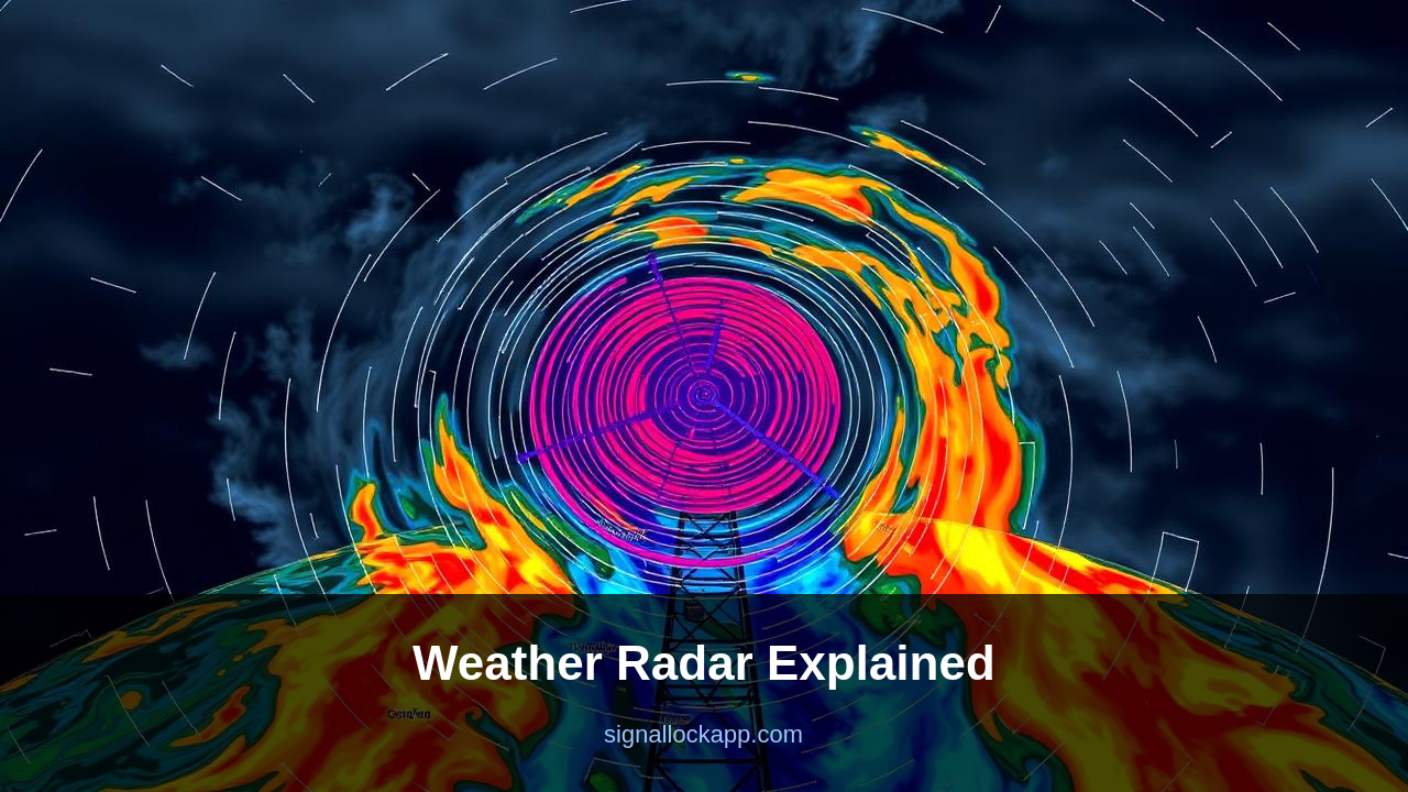
Reflectivity — how much rain
The radar emits 750 kW pulses at 2.7-3.0 GHz. Raindrops, hail and snow reflect a tiny fraction back. The strength of the return — measured in dBZ — converts to rainfall rate. Light rain shows green on the map; thunderstorms show red and purple. Hail produces especially strong returns because ice reflects more than water.
Velocity — how fast and which way
Doppler shift converts to wind speed within each range cell. Toward the radar shows as green; away shows as red. The boundary between green and red, with strong shifts on both sides, is a rotating mesocyclone. The famous 'hook echo' shape combined with a tight velocity couplet is the signature of a tornado-producing storm.
Dual polarisation — what's actually in the air
Since the 2010s, NEXRAD radars transmit both horizontally and vertically polarised pulses. Comparing the returns tells the radar what shape the targets are. Round drops vs flat raindrops vs hail vs insects vs debris. Tornado debris signatures — chunks of buildings and trees swirling in a vortex — are now visible directly on radar, often before any storm spotter can see anything.
Why 13 minutes matters
In 1980, average tornado warning lead time in the US was 3 minutes. After NEXRAD deployment in the 1990s, it climbed to 13 minutes. Dual-pol added another margin. Every minute of warning saves lives. The same Doppler radar that started as a fighter intercept tool now saves around 100 American lives per year.
The Pulse Repetition Frequency Dilemma
NEXRAD systems must constantly balance range versus velocity, a technical constraint known as the Doppler dilemma. The Pulse Repetition Frequency (PRF) determines how far the signal travels before the next pulse is sent. A low PRF allows the radar to ‘see’ storms hundreds of kilometers away but limits the maximum wind speed it can measure without visual aliasing. Conversely, a high PRF accurately tracks the 200 mph winds of an EF5 tornado but significantly reduces the maximum unambiguous range of the scan. To solve this, WSR-88D units employ complex pulsing strategies like the Multiple PRF Dealiasing Algorithm (MPDA) to stitch together data from different frequencies.
This trade-off is why radar maps often feature ‘ghost’ echoes or purple streaks known as range folding. When a pulse takes too long to return from a distant storm, the radar processor mistakenly attributes it to the next pulse cycle, placing the storm at the wrong distance. Modern signal processing uses phase-coding to tag individual pulses, allowing the computer to distinguish between the primary return and second-trip echoes. This ensures that a massive supercell 300 kilometers away does not mask the development of a smaller, more dangerous mesocyclone only 40 kilometers from the radar tower.
The Impact of Phased Array Upgrades
Traditional NEXRAD dishes are mechanically steered, taking roughly five to seven minutes to complete a full volume scan of the atmosphere. In a rapidly evolving tornadic environment, a storm can undergo critical structural changes between these sweeps. Emerging Multi-Function Phased Array Radar (MPAR) technology aims to replace moving parts with thousands of fixed antenna elements. By electronically steering the beam, these systems can update the entire three-dimensional volume of a storm in under 60 seconds. This increase in temporal resolution provides meteorologists with a near-continuous view of cloud-base rotation, potentially extending warning lead times beyond the current 13-minute average.
Beyond speed, phased array technology allows for adaptive scanning. While a mechanical dish must complete a full 360-degree rotation regardless of where the weather is, a phased array unit can prioritize active storm cells with more frequent pulses while ignoring clear-air regions. This focused data collection helps identify the precise moment of tornadic genesis—the transition from a broad mesocyclone to a concentrated vortex. As the National Severe Storms Laboratory (NSSL) continues testing these systems at the National Weather Radar Testbed, the transition from mechanical to solid-state radar represents the next major leap in lethal weather detection.
The Clear Air Mode and Biological Anomalies
When no significant precipitation is present, NEXRAD operates in 'Clear Air Mode,' increasing its sensitivity to detect minute density gradients in the atmosphere. The radar's pulse repetition frequency slows down, allowing for longer listening periods to capture weak returns. In this mode, the system frequently detects non-meteorological targets including swarms of beetles, migratory birds, and even the emergence of bats from cave systems like those in Bracken Cave, Texas. These biological returns populate the displays as diffuse, low-reflectivity clouds, often mimicking the early stages of light drizzle or smoke plumes.
Distinguishing between biological clutter and genuine weather requires analyzing the Correlation Coefficient (CC). While raindrops and hail have a high CC because of their uniform shape and behavior, biological entities like grasshoppers or birds are non-uniform and erratic, producing a lower CC signal. Modern meteorologists use these signatures to track monarch butterfly migrations or monitor the timing of seasonal bird passage. This accidental secondary utility of the WSR-88D network has transformed the infrastructure from a purely meteorological tool into one of the most powerful continuous ecological monitoring systems in the world.
The Dilemma of the Radar Horizon
The Earth’s curvature creates a physical limitation known as the radar horizon, which prevents NEXRAD from seeing what happens at the lowest levels of the atmosphere at long distances. Because the beam travels in a straight line while the ground curves away beneath it, a storm 100 miles away can only be sampled at altitudes above 10,000 feet. This 'gap' means a tornado could be tearing through a town at ground level, but the radar is only seeing the mid-level rotation of the parent mesocyclone. To combat this, the NWS operates a network of 160 stations to ensure overlapping coverage, though 'radar holes' still exist in rural valleys.
Beam broadening further complicates distant observations. As the signal travels, the 1-degree beam width spreads out; at 60 miles, the beam is already over 5,000 feet wide. This loss of resolution makes it difficult to distinguish small-scale features like narrow tornado debris balls from broader rain bands. This technical constraint is the primary driver behind the push for Supplemental Adaptive Intra-Radial Scanning (SAILS), which allows the radar to perform extra low-level scans during severe weather events, providing more frequent updates near the surface where the most immediate danger to life exists.